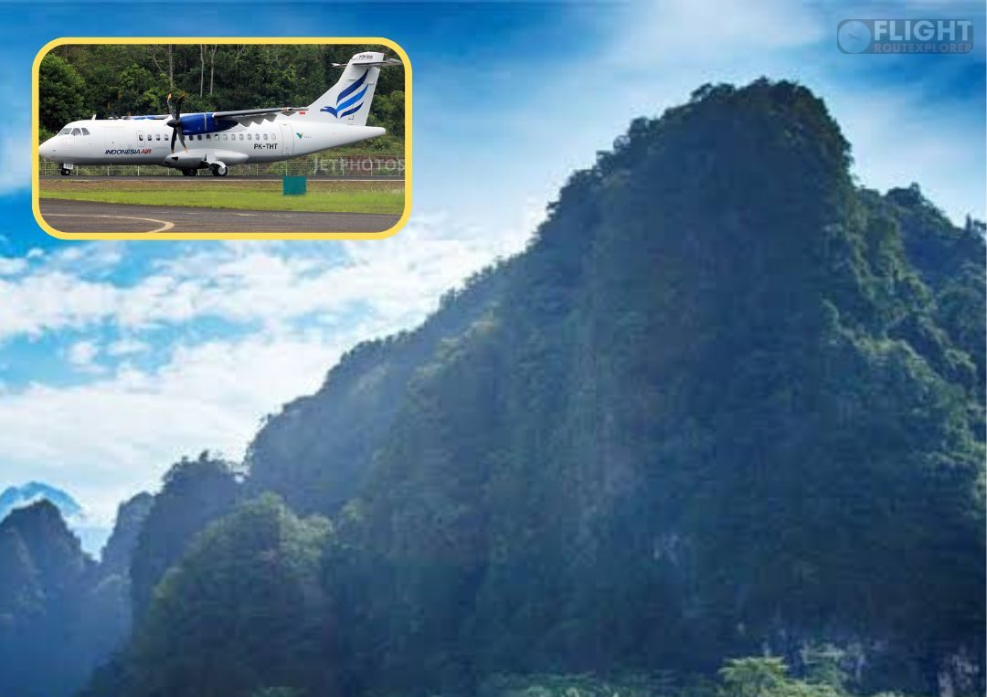
The evacuation and recovery efforts for the ATR 42-500 aircraft, which reportedly crashed in the Bantimurung Bulusaraung National Park in South Sulawesi, Indonesia, are ongoing under the coordination of the joint Search and Rescue (SAR) team.
On Sunday morning, January 18, 2026, debris from the aircraft was discovered on the southern slope of Mount Bulusaraung, while the fuselage was located on the northern side of the peak.
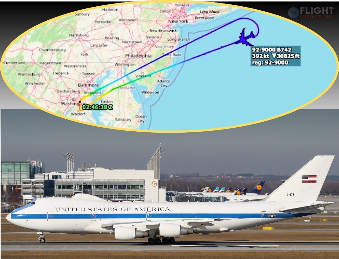
The plane had lost contact while approaching Sultan Hasanuddin Airport in Makassar on Saturday, January 17, 2026.
The crash site and its surrounding environment have several unique characteristics that make Mount Bulusaraung both a challenging location for rescue operations and an ecologically significant area.
Mount Bulusaraung, rising approximately 1,353 meters above sea level, is a prominent peak in South Sulawesi and forms part of the Maros-Pangkep karst region.
Located within Bantimurung Bulusaraung National Park, the mountain is known for its steep terrain, limestone formations of the Tonasa Formation, and areas of andesite lithology resulting from intrusive igneous activity.
Abdul Rajab, head of Bantimurung Bulusaraung National Park, described the peak as a typical karst landscape, characterized by steep cliffs, sharp rocks, caves, and persistent mist that blankets the area even during the dry season.
The combination of high humidity, temperature fluctuations, and dense forest vegetation creates a unique microclimate, making the summit unsuitable for camping.